National Source for GIS Mapping Bids
We know our customers rely on us to provide the best-fit bids in the industry. We don't disappoint.
Don't lose out on a job because you missed the RFP.
We search state and local agencies across the country so you don’t have to.
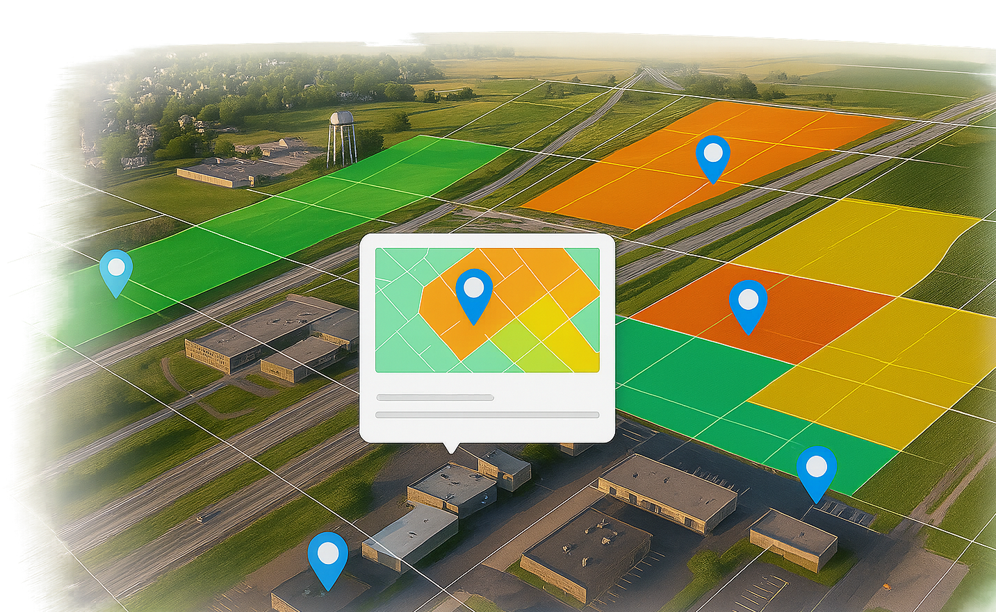
Our GIS Mapping opportunities include:
chevron_rightAsset and Infrastructure Mapping
chevron_rightTopographic and Boundary Surveys
chevron_rightStormwater GIS
chevron_rightUtility Mapping
How We're Different,
and why that makes us better.
and why that makes us better.

checkThis is our Specialty.
We don't just include the environmental industry, we've specialized in it for over 30 years.
checkInvite Unlimited Additional Users.
Add as many users from your company at no additional cost. Each person gets their own bid profile.
checkWe Don’t Charge for Specs.
Our bids are complete. When specs are available to us, they’re available to you at no additional cost
checkOur bids are Hand-Curated.
Our team manually researches each opportunity so we can deliver unmatched quality.
Active GIS Mapping Bids
View these opportunities and more like them by starting a free trial, no credit card required.
Our Powerful Platform Makes Finding GIS Mapping Bids a Breeze
search
Use our Search Center Any Time
Configure your criteria, apply your filters, and let us find you the best opportunities.
save
Build your Own Saved Searches
Save the search criteria you use often, so all you need later is a single click to get bids.
access_time
Let us Remind You about Opportunities
Just tell us when to remind you and we’ll set up notifications so you never lose track of a bid.
bookmark_outline
Mark your favorite bids with Bookmarks
View all your favorite bids in one place through your Bookmark dashboard
Let us Help You Grow your Business.
We’ve helped thousands of companies find more business across the environmental sector.
We would love to help yours too. Try a 30 Day Free Trial - there’s no credit card required!